Image credit: Unsplash
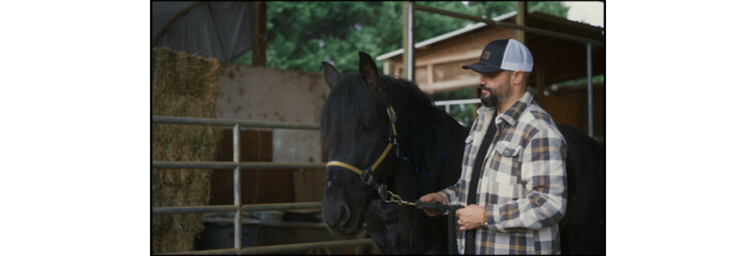
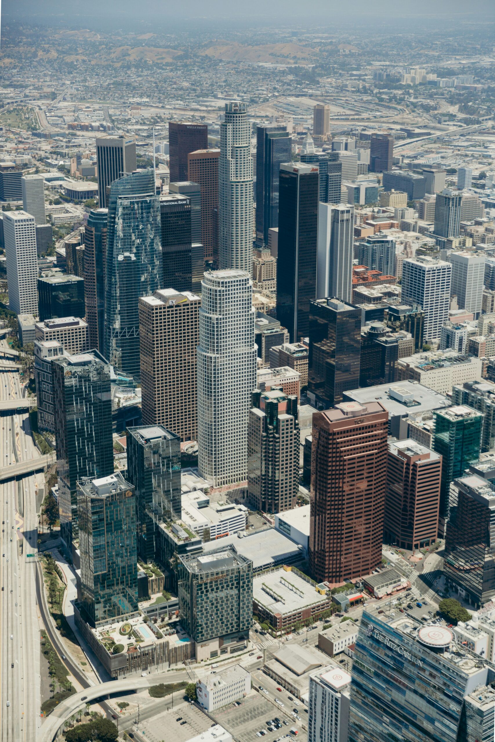
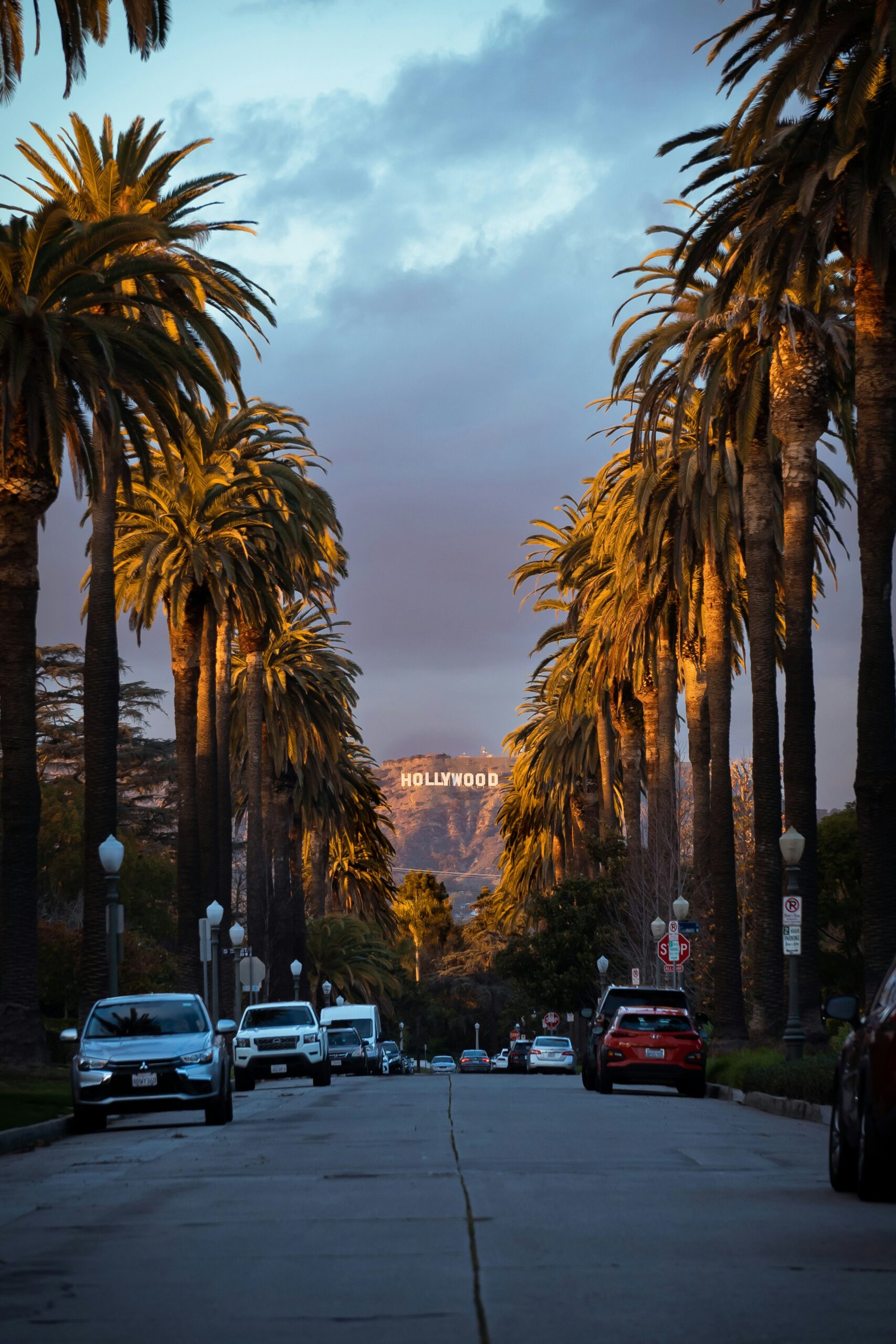
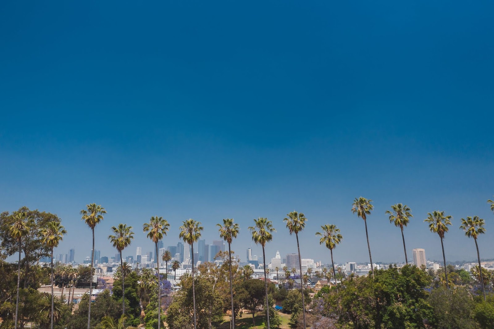
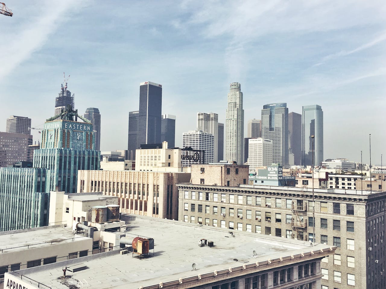
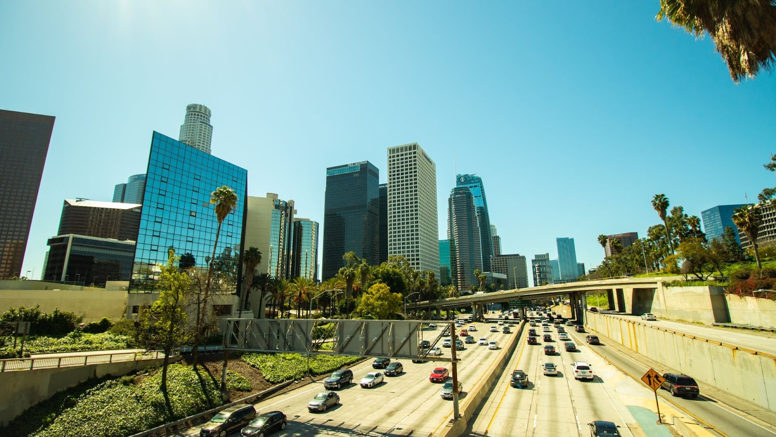
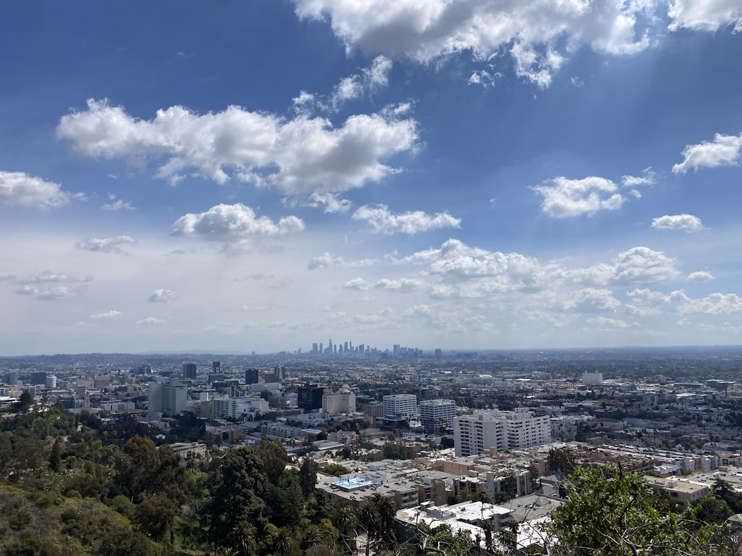
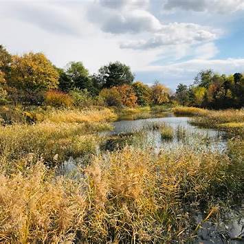
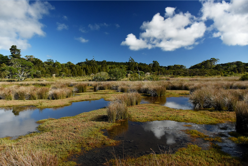
Whizzing past the Whittier Narrows Recreation Area on the 60 Freeway and Rosemead Boulevard, most Los Angeles drivers only glimpse a fleeting panorama of wetlands interspersed with aged sycamore and oak trees. Yet, for Andrew Salas, leader of the Gabrieleño-Kizh tribe, these grounds reverberate with ancestral echoes. He knows it as Shevaanga, an ancient hub comparable to today’s Beverly Hills.
Few residents recognize the area as a bustling epicenter of culture predating modern LA, a landscape brimming with wildlife, oak, and walnut groves. But the recent “Mapping Los Angeles Landscape History” initiative sheds light on Shevaanga, revealing hundreds of similar locales.
The project uncovers ancient settlements and a vast 2,500-mile web of pathways connecting them. These routes facilitated the trade of diverse goods, from nuts and berries to shells and tar. Orchestrated collaboratively by the Chumash, Tataviam, and Kizh-Gabrieleño tribes and experts from academic institutions, including USC, UCLA, and Cal State, the project leveraged advanced geoinformatics, historical topography, and expertise from Indian undergraduate students.
As a USC professor, Phil Ethington emphasizes the project’s significance, drawing attention to ancient settlements like Yaangna, which now houses Union Station. “We’re illustrating LA’s deep-rooted history, one interlaced with trade hubs, maritime communities, and nature-managed landscapes,” he commented.
The extensive research, sponsored by the John Randolph Haynes and Dora Haynes Foundation, took three years. Relying on tribal oral narratives, aerial images, satellite tech, historical documents, and more, the goal was to unearth ancient communities overshadowed by contemporary urban landscapes. Travis Longcore from UCLA’s Institute of the Environment and Sustainability remarks, “This will guide future planning regarding sustainability, climate change adaptation, and habitat restoration with native flora.”
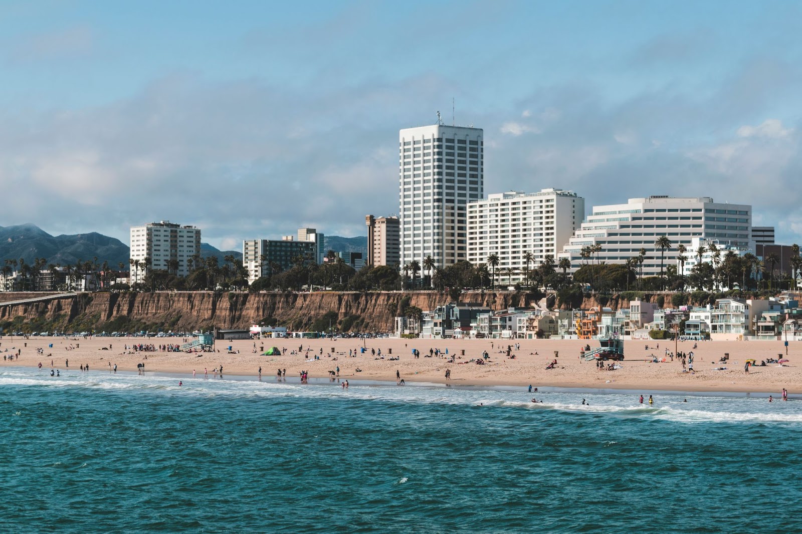
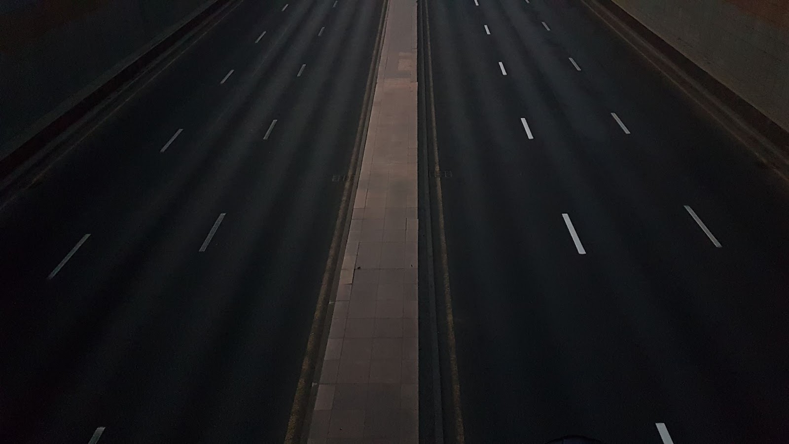
The outcome? Detailed 3D digital maps depicting prehistoric interactions between humans and their environment at places like Humaliwo (present-day Malibu) and Povuu’unga (Long Beach). Moreover, the maps draw parallels between ancient pathways and modern highways, showcasing how areas were transformed to cater to urban expansion.
Highlighting European influence, researchers reveal how ancient pathways were repurposed into modern infrastructures like the 101 and 110 Freeways. For Matt Vestuto of the Barbareno/Ventureno Band of Mission Indians, these findings offer a refreshed perspective on Native American history that sidesteps cliched narratives about their origins.
Tracing the steps of his ancestors at Malibu Lagoon, Vestuto remarked, “We flourished for centuries before being uprooted. But our legacy remains; our challenge now is environmental rejuvenation and nation rebuilding.”
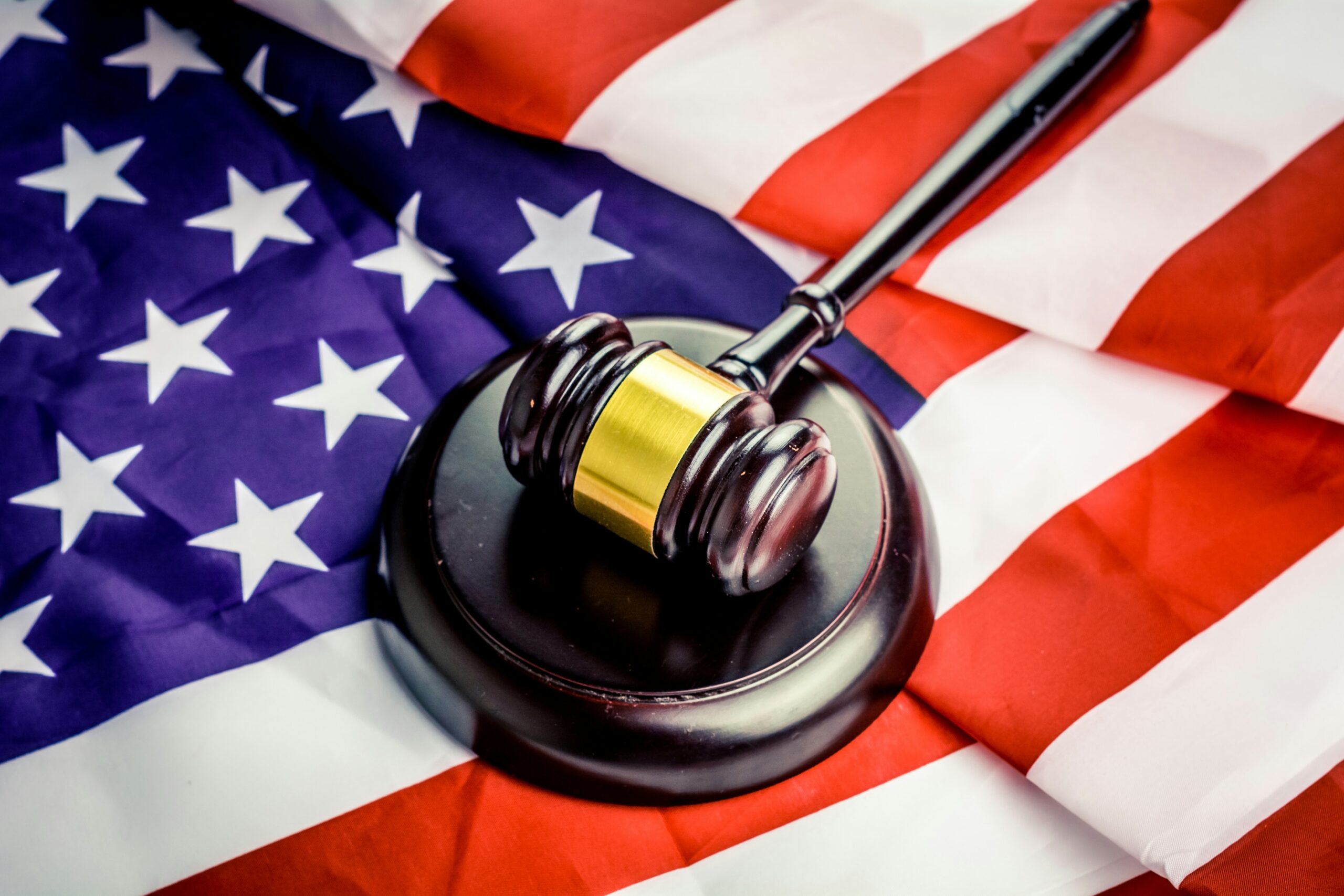
Today, California boasts around 150,000 Native inhabitants, affiliated with over 110 federally recognized tribes. These tribes, enjoying various rights and benefits, have flourished in diverse ways, with some venturing into successful casino businesses. Yet, the Gabrieleño tribes, like other unrecognized tribes, continue their fight for federal acknowledgment and the privileges that come with it.
These tribes seek the reclamation of historic lands, access to healthcare and education, and safeguarding sacred places. Though the quest is arduous and lengthy, Salas remains hopeful about the Gabrieleño Nation’s future. Looking at Whittier Narrows, he reflects, “We applied for recognition in 2010. I’m confident that our day will come.”